MURD-ViT
Urban Retrofitting Detection with a ViT-based model using multimodal data.
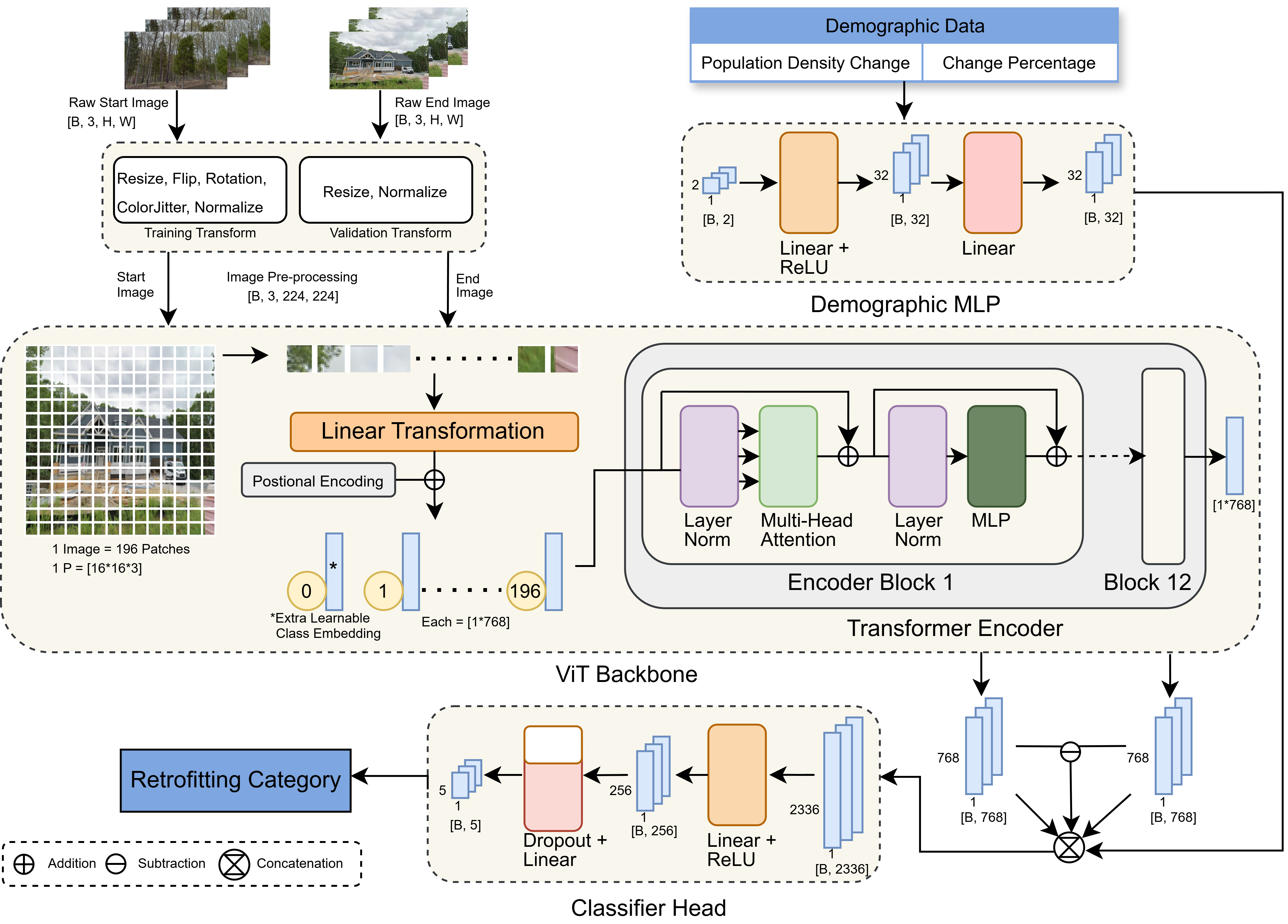
I'm a geospatial researcher and engineer pursuing my MS in Geography at Virginia Tech, where I build AI systems for urban change detections. My work including MURD-ViT, a 1st-place winner at the NSF-funded I-GUIDE Spatial AI Challenge 2025–26, sits at the intersection of GeoAI, Earth observation, and urban resilience. Before grad school, I spent three years in industry designing geospatial backends and drone imagery pipelines. I'm passionate about open, reproducible science and am actively exploring opportunities including research collaborations, in GeoAI and Earth Observation.

I am a simple grounded individual from a beautiful country of the Himalayas, Nepal, located in South Asia, seeking to aspire in geospatial world.


Virginia Polytechnic Institute and State University, Blacksburg, VA
GPA: 4.0/4.0
Kathmandu University, Dhulikhel, Nepal
GPA: 3.92/4.0
Virginia Polytechnic Institute and State University, GeoComputeLab, Blacksburg, VA
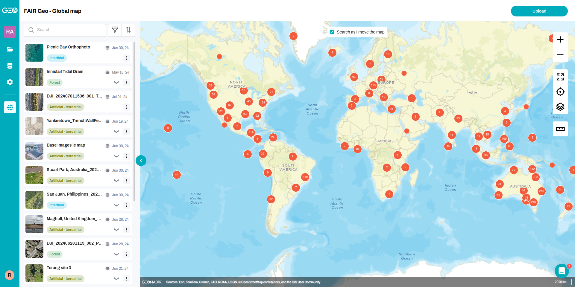
Geonadir, Australia - Remote
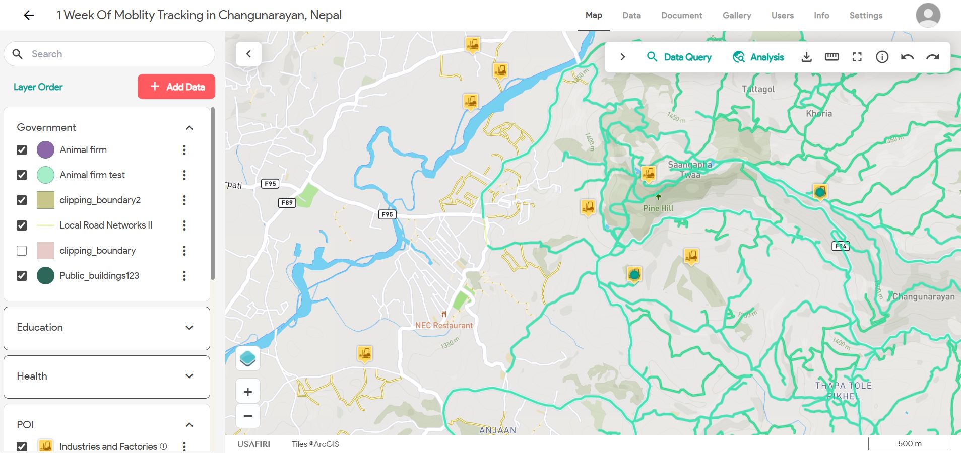
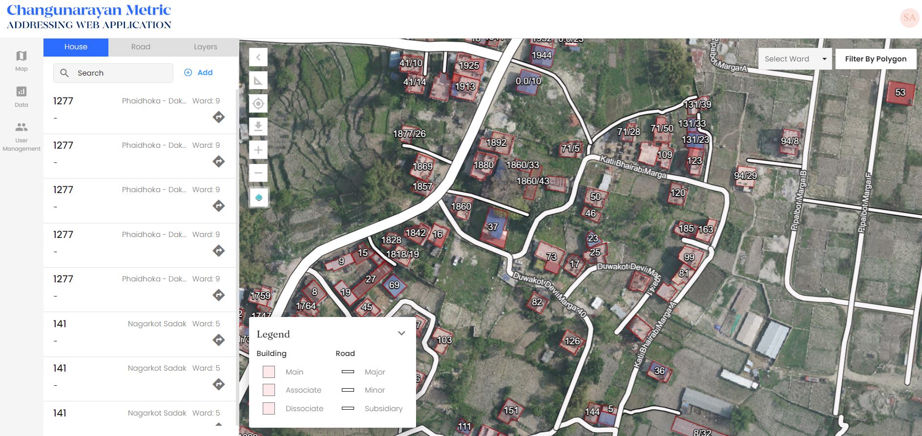
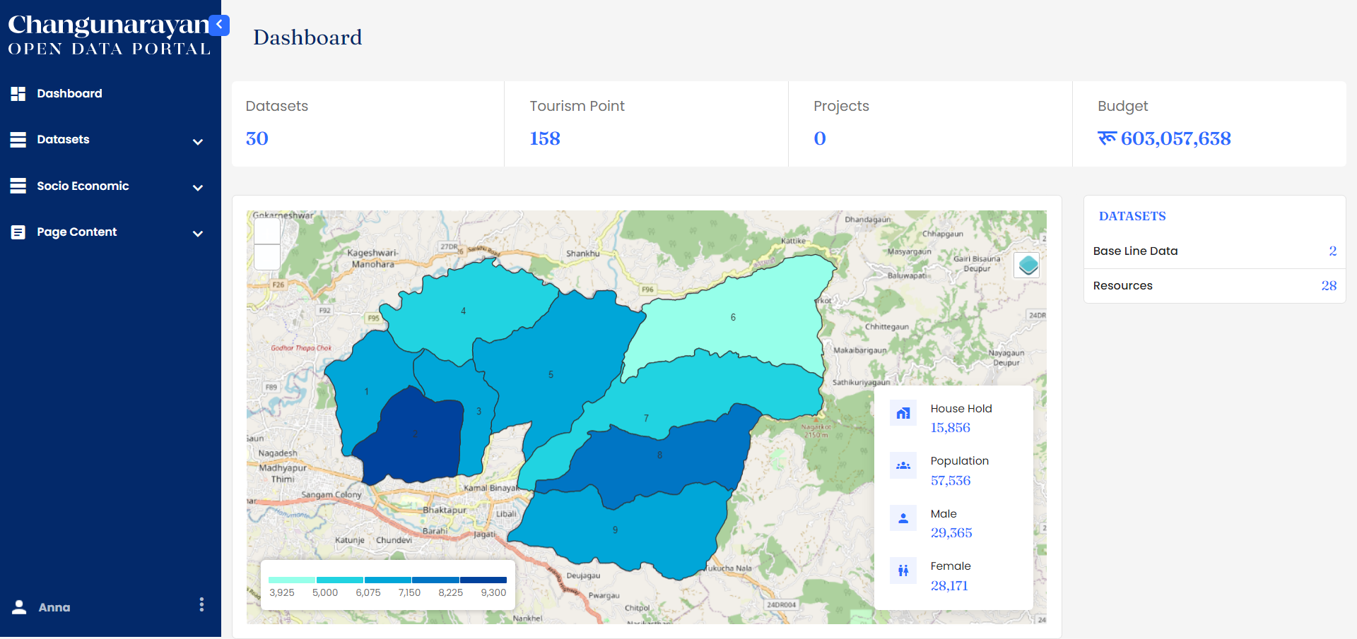
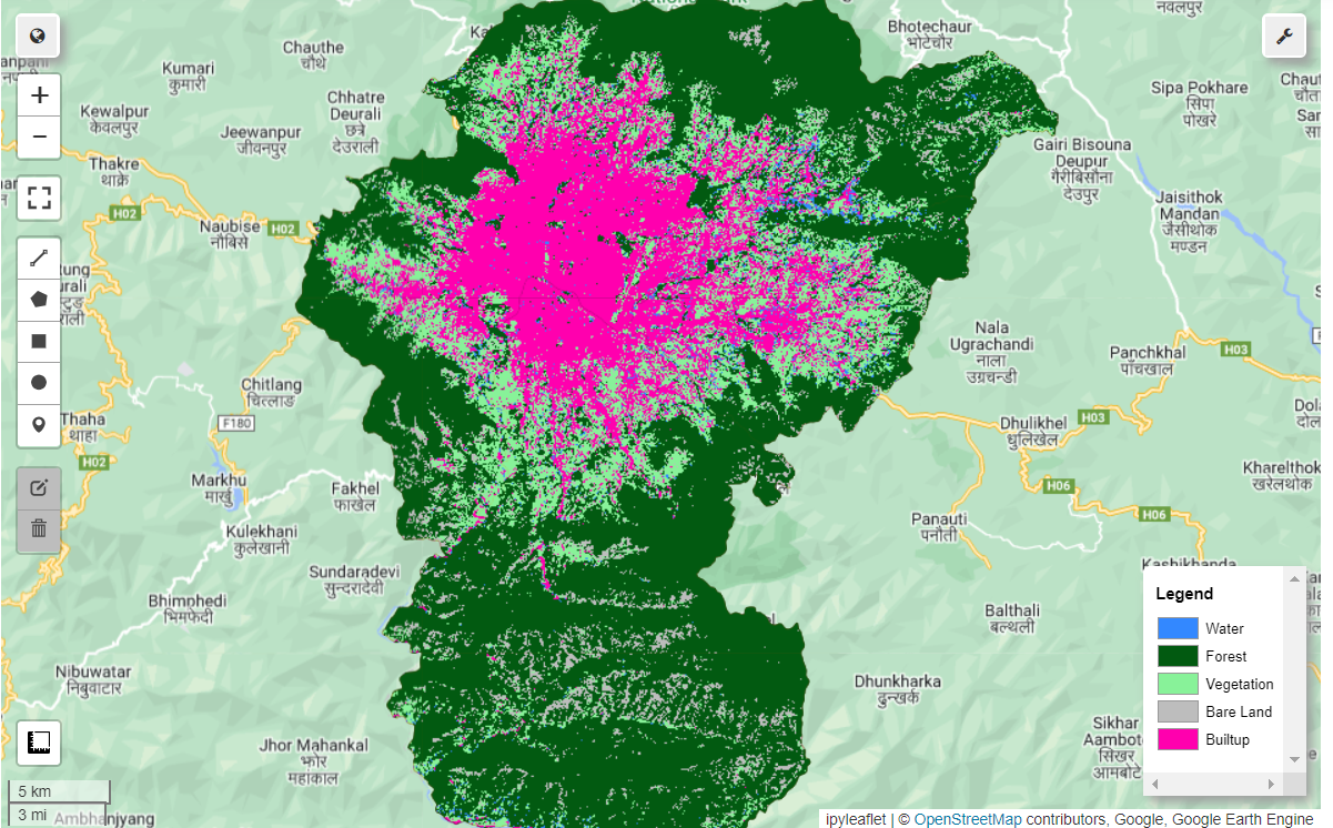
Naxa Private Limited, Kathmandu, Nepal
You can contact me if you want to talk or collaborate to work with me about GIS, Remote Sensing or research on the geospatial domain.
Blacksburg, Virginia, USA