
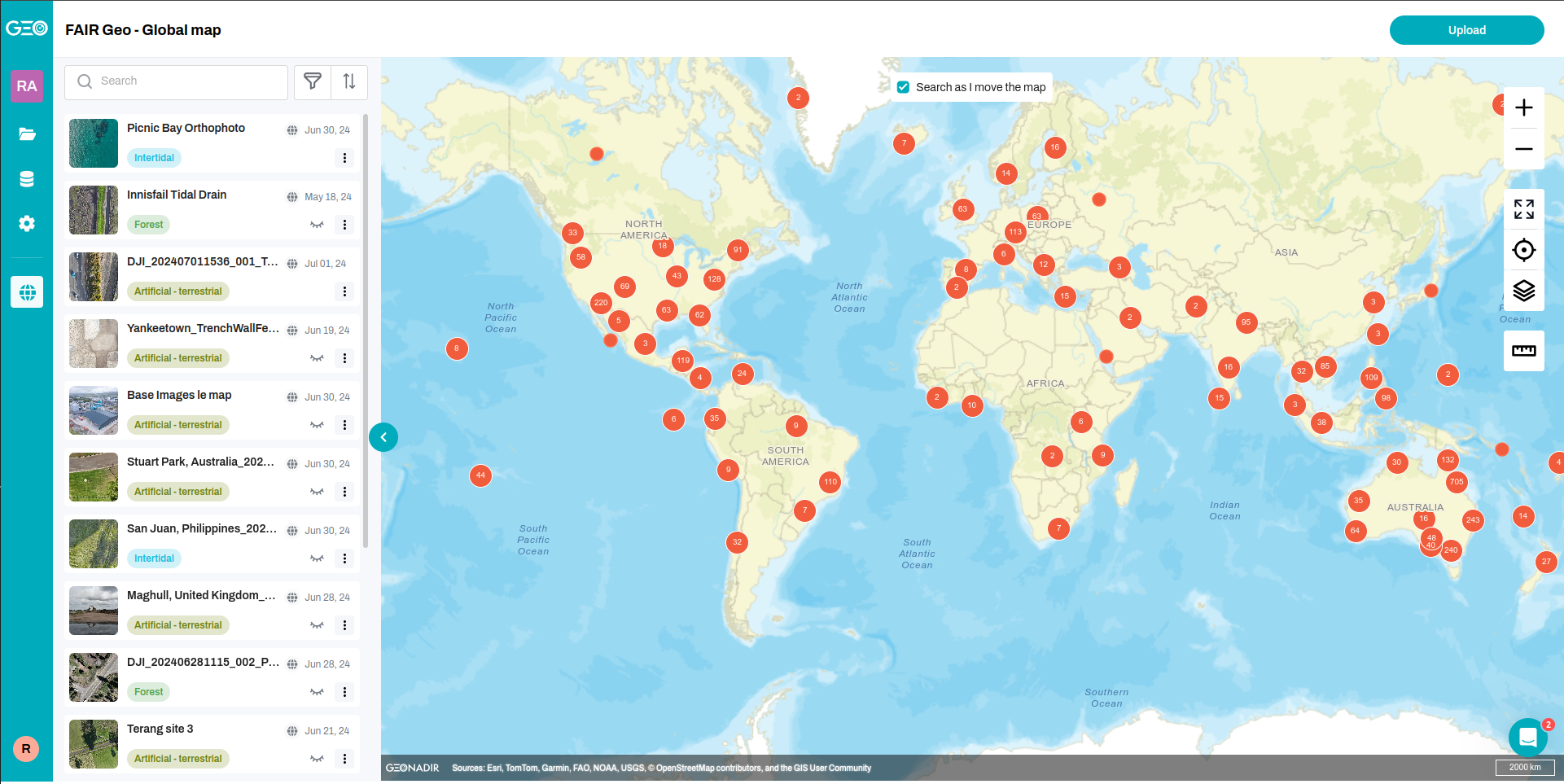
GEONADIR is a single GIS platform where you can upload your drone imageries and get ORTHOMOSIACs, DSMs and DTMs in return. Moreover, it enables collaborative mapping over your drone data. Made for layman users in organizational level to process and map over spatial data.
Key Features
- Revolutionize your data management with Workspaces and Projects.
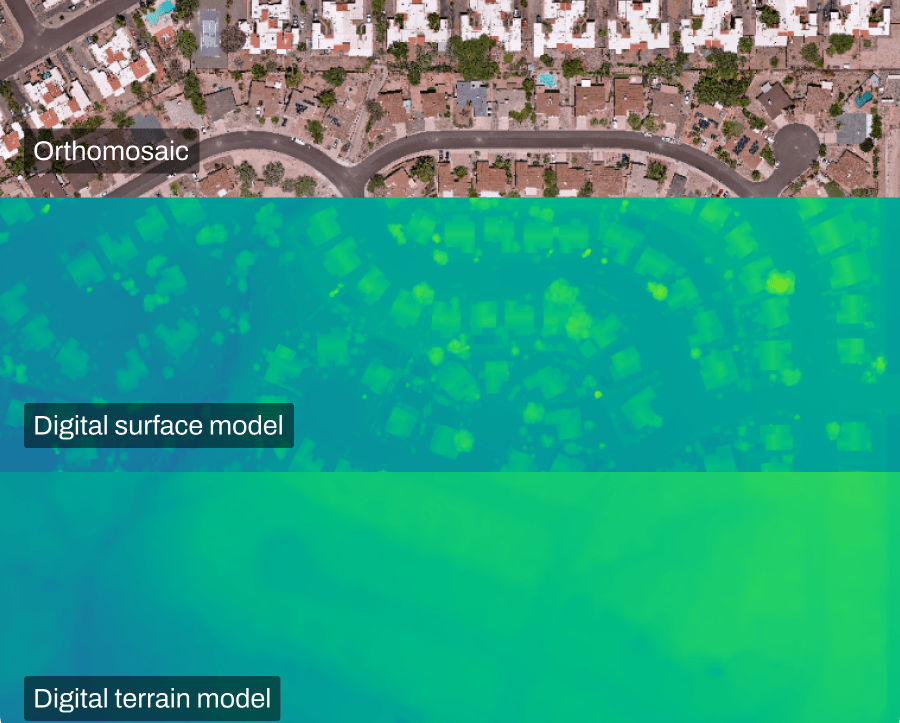
- Simplified, hassle-free processing for drone datasets to useful ORTHOMOSIACs, DSMs and DTMs.
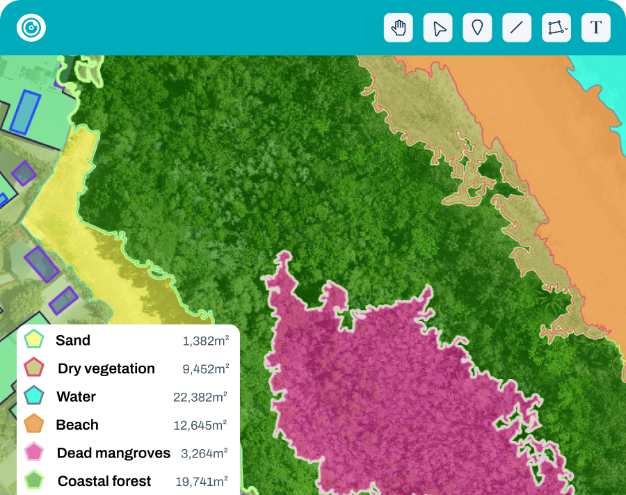
- Intuitive and versatile analysis: Greeness Index.
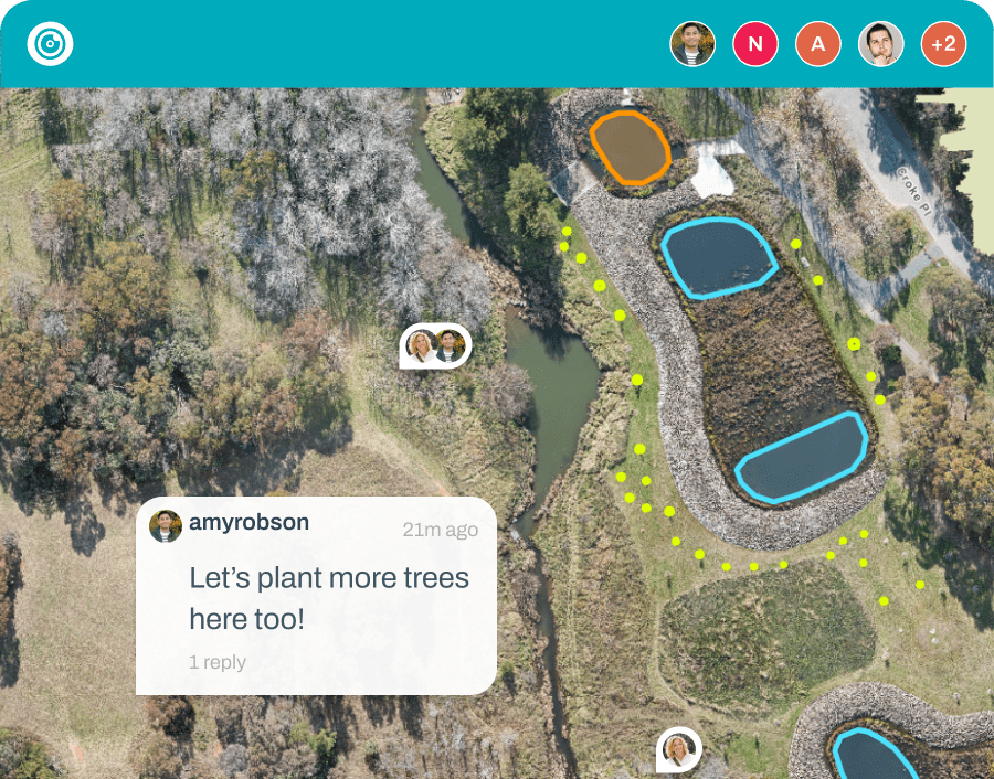
- Boost collaboration seamlessly amongst your team with Comments and Real time mapping.
- Unleash analytics potential: Histogram and Contrast Enhancement.