
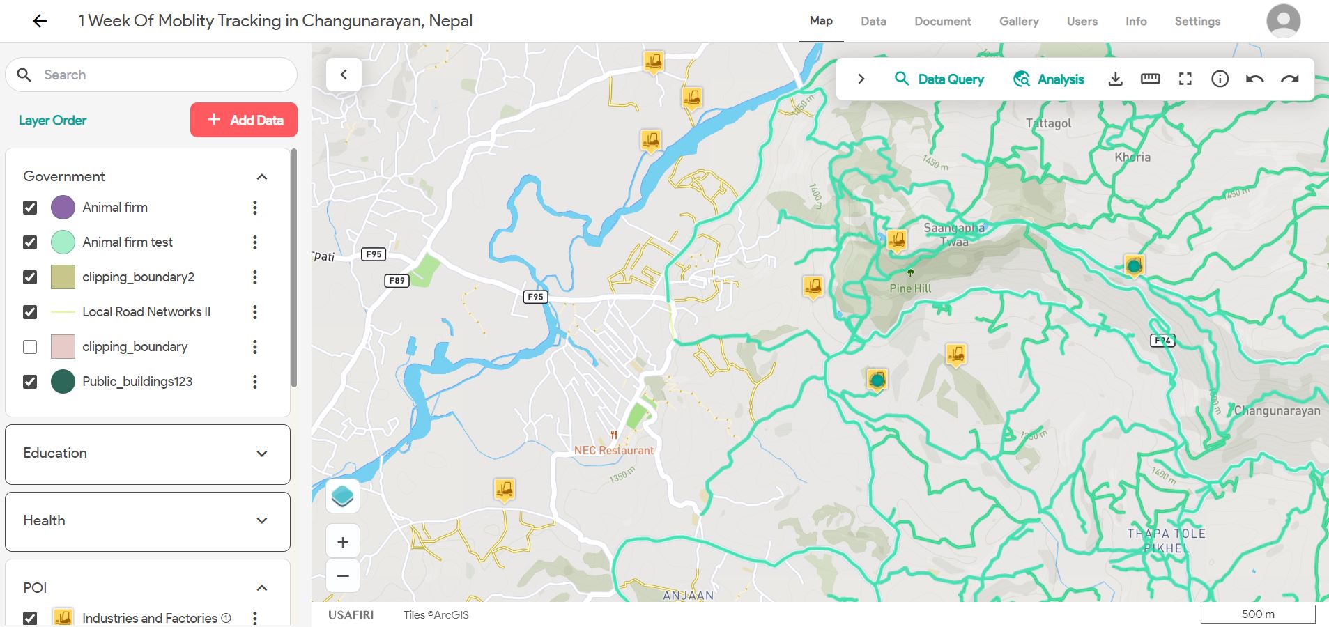

USAFIRI is a GIS-based toolkit to assess, in a participatory way, the unmet transportation needs and mobility barriers of rural communities. The project is an open-source, participatory mapping toolkit aimed at rural communities, intended to guide development planners and policy-makers in identifying transportation needs and barriers in marginalized areas.
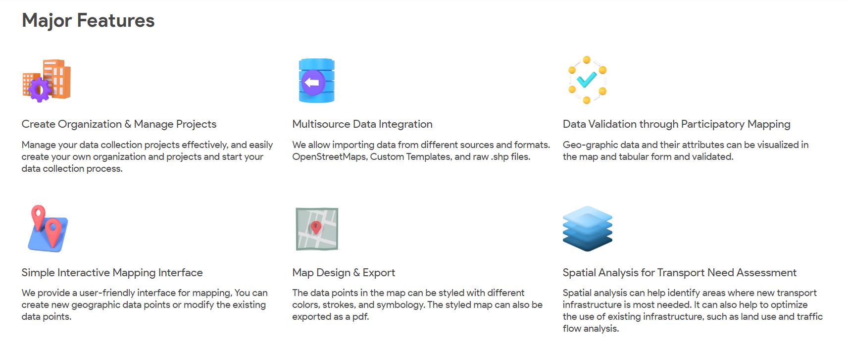
Key Features
- Open Source
- User Friendly Friendly Interface
- Tackles tech-literacy to the implementation of participatory GIS.
- Collect and share geodata for accessibility, utilization, and sustainability of mobility options.
- Network Analaysis
- Buffer Analysis
- Advance Attribute and Spatial Query